NZ losing 190m tonnes of soil
Every year erosion washes sediment into waterways - but new move aims to improve water quality.


Powered by DairyNZ
Powered by DairyNZ
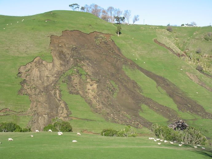
New Zealand’s soil is being lost – to the tune of the equivalent of 7 million dump trucks a year.
And the thief behind this loss of 192 million tonnes of soil each year? Erosion.
More to the point, 44 per cent of that loss is from pastoral land – land used for farming of all descriptions though erosion more often happens on steeper hills typically used by beef and sheep farms.
Now a team from Manaaki Whenua-Landcare Research is leading a new effort to pinpoint more precise data showing how erosion affects water quality – and thus how to reduce sediment in our waterways.
The Ministry for the Environment’s Environment Aotearoa 2019 report says erosion of pastoral land accounts for 44 per cent of New Zealand’s soil loss to erosion. It’s been accelerated by the loss of native vegetation but is primarily caused by significant weather events where heavy rain causes slips, slumps and stream-bank collapses, sending massive amounts of fertile soil and sediment into waterways, streams and rivers.
So the collaborative five-year MBIE-funded programme ‘Smarter Targeting of Erosion Control’ (STEC) led by Manaaki Whenua – Landcare Research, is to explore cost-effective ways of targeting erosion control and improving water quality.
Manaaki Whenua Landcare Research Geomorphologist Dr Hugh Smith co-leads the project and says this land-based erosion and transfer of sediment is a huge problem for New Zealand. It doesn’t just reduce land productivity; it also affects water quality.
Too much sediment in rivers, lakes, and coastal environments can smother freshwater and marine habitats. It also hampers the growth of aquatic plants and animals and increases the risk of flooding in towns and cities.
Fine sediments are the most common culprit behind widespread contaminants in New Zealand’s rivers and estuaries. They muddy rivers and reduce water quality but also carry other pollutants such as heavy metals, nutrients and microbes.
As significant weather events continue to increase, so does the amount of erosion - triggering the urgent need to understand how to best target erosion control to slow the damage and improve water quality.
“This research will improve our understanding of where erosion occurs, sediment volume, what type of sediment is produced, and by which processes,” says Smith.
Current erosion modelling tools model annual average sediment loads over entire catchments but STEC will collect new data for building new models. They will indicate how sediment, and in particular fine silt, moves through catchments and how erosion and sediment transport can be targeted and mitigated cost-effectively to help minimise erosion effects.
“Our ambition is to move from annual models where things are currently treated on a long term annual average using historical rates of change,” says Smith. “We are seeking an event scale modelling approach that better links erosion sources to the fine sediment affecting water quality in streams and rivers.”
“The smarter targeting of the whole STEC programme is saying, ‘Well, if we had better data and better models that allowed us to actually link erosion on the land to instream related water quality impacts, could we then better inform managers when it comes to deciding where to target their investment in erosion control to maximise the benefits downstream?’”
One of the key elements in the research will be what happens during weather events: “Year to year there is large variability in storm events,” says Smith. “We have severe storm events like the one in 2004 in the Manawatu River where huge quantities of sediment are generated and flow down the river; there are [also] massive impacts from landsliding and flooding.”
“Then other years we have extended low rainfall periods with no major storms and less sediment, but the water quality is still quite troubling,” he says.
STEC is starting sampling in four river catchments across New Zealand to collect this new data. These are the Manawatu - for new and continuing data collection; the Whanganui - to look into impacts from the 2018 storm and legacy sediments; and the Oreti in Southland and Wairoa near Auckland - to research bank erosion and sediment fingerprinting methods in collaboration with NIWA’s Managing Mud programme.
Erosion mitigation research will also be conducted on farms to learn more about how effective erosion techniques are, and build on the base of research for new models.
Sampling is already underway in the Oreti River catchment in Southland and Manawatu in the upper Tiraumea catchment - where sensors are being installed into earth flows to provide data on the rate of movements. A weather station will also be installed to look at climate conditions and how they vary and relate to movement rates.
Further erosion sampling will take place over the coming months and continue for three years.
DairyNZ is supporting farmers to control erosion through ongoing research and extension programmes. For more information click here.

Related links from NZ Herald
-
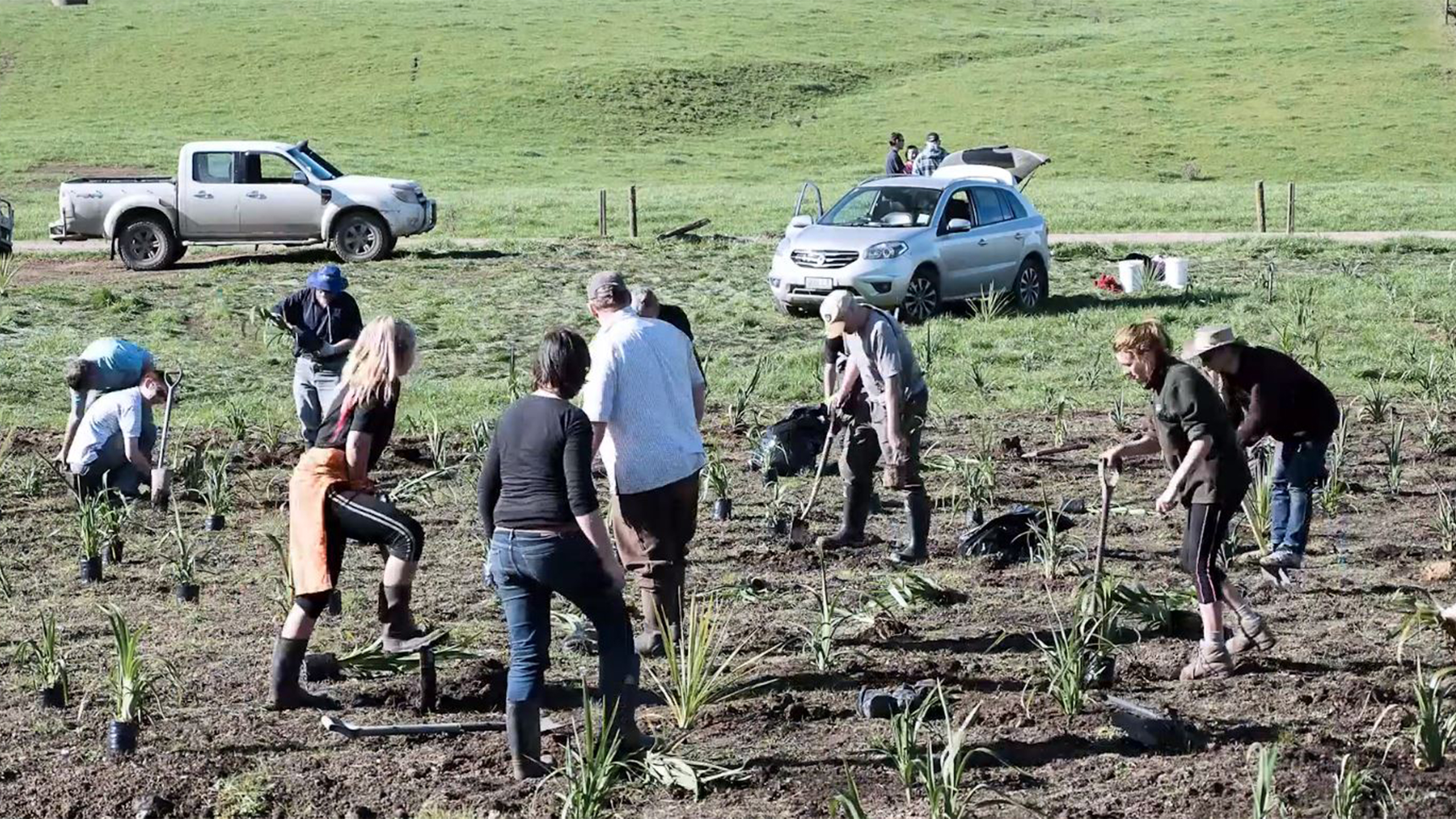 Reversing 150yrs of lost wetlands
-
 Fish returning to ‘lost’ river
-
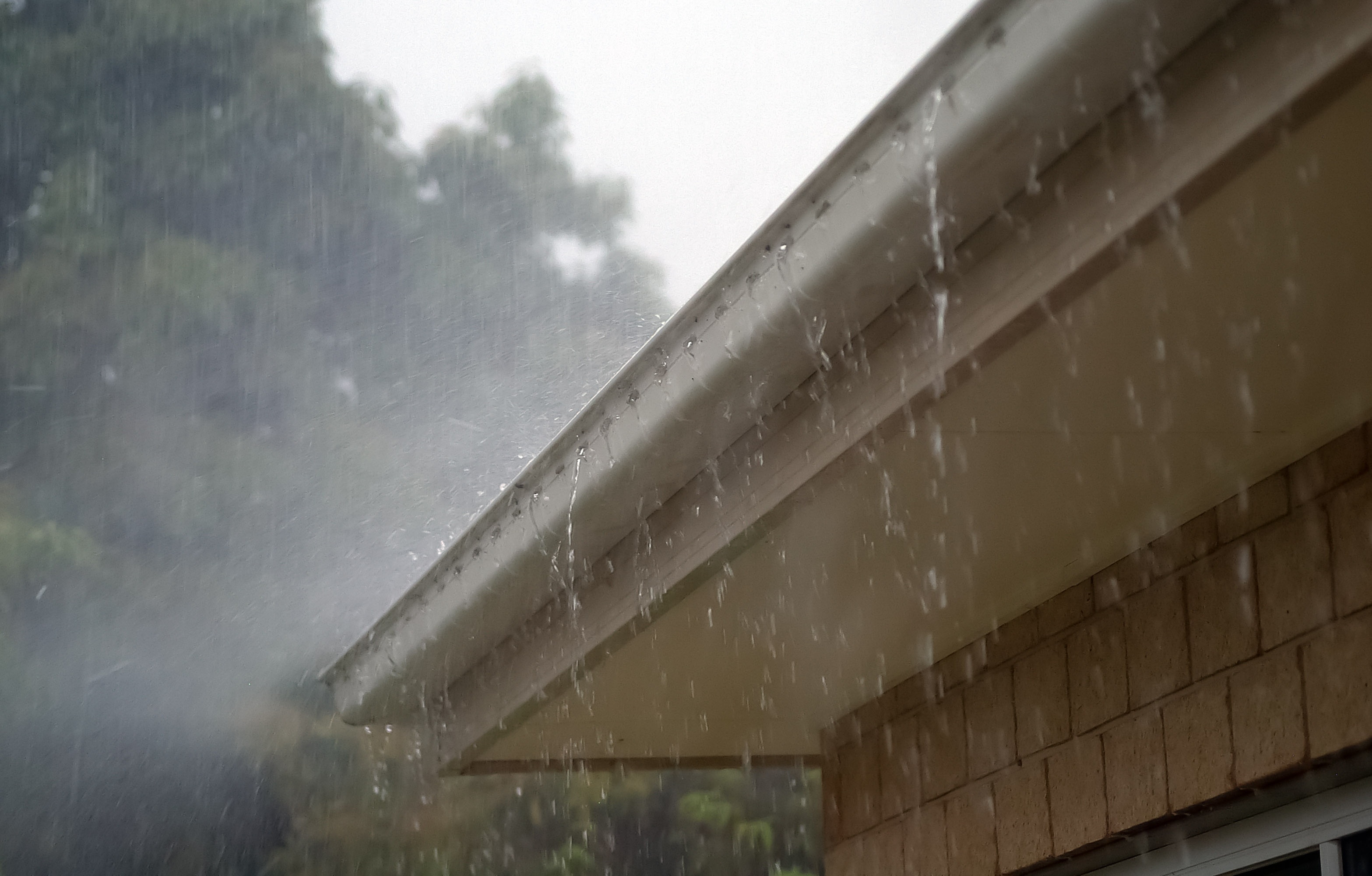 Cleaning up zinc run-off from roofs
-
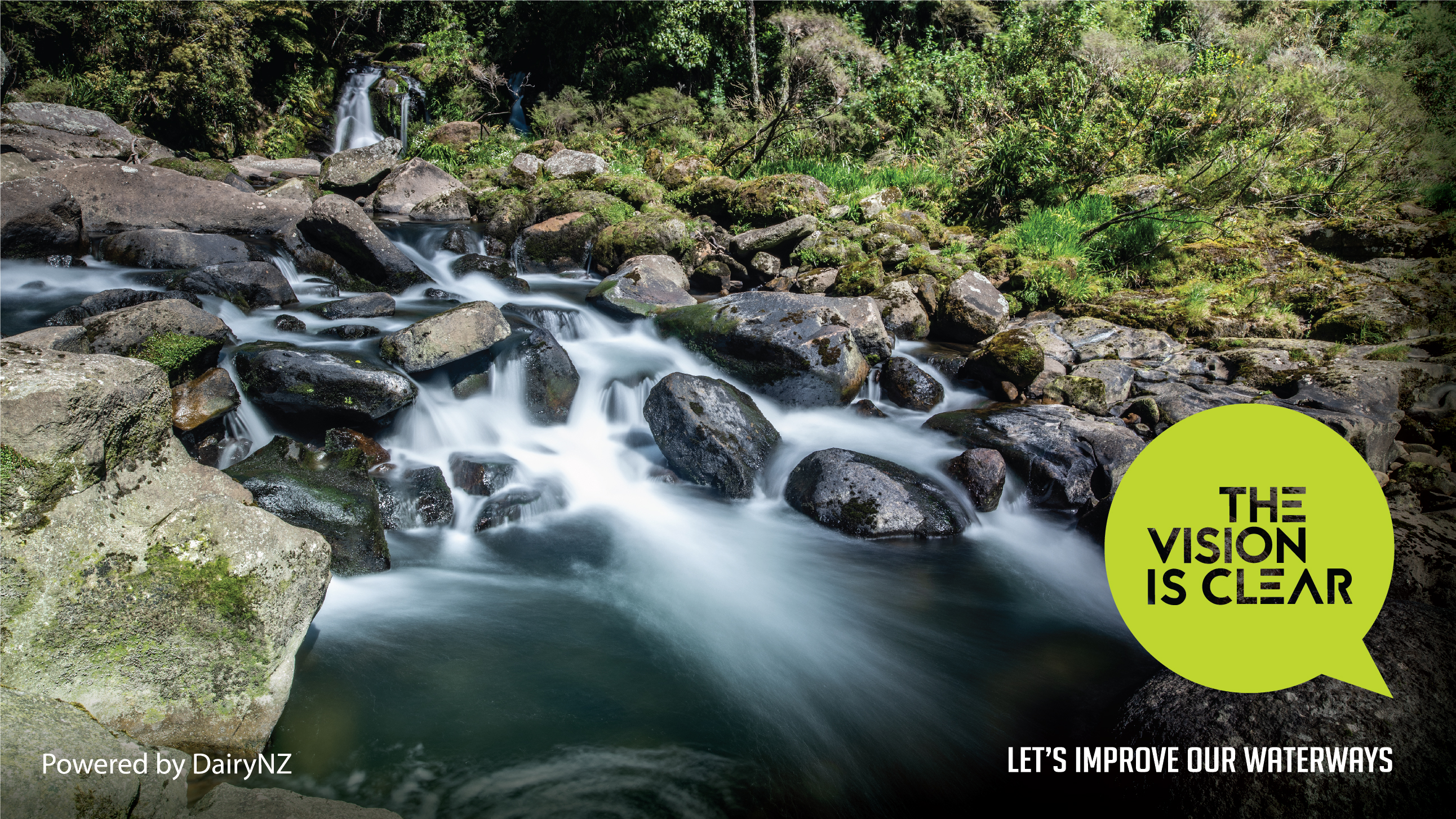 The Vision is Clear
© Copyright 2018 NZ Herald