Community comes together to protect river
Large band of small landowners in Nelson seek better water quality


Kiwis are proud of their ‘do it yourself’ traditions. For one community near Nelson, this means planting, fencing and improving their river’s water quality – a from-the-ground-up project with a hand from the Nelson City Council.
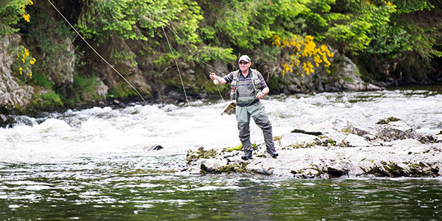
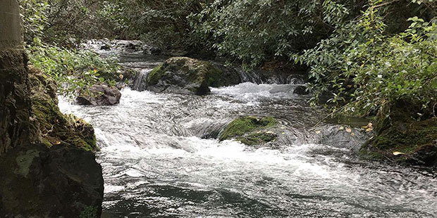
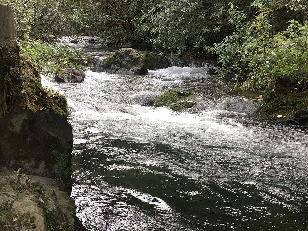
Several waterways tumble from the ranges east of the city, combining to form the 134km Wakapuaka River, watering livestock and creating much-loved swimming holes on the way to its estuary at Cable Bay. Rich in fish and shellfish, it’s popular for swimming, kayaking and other water sports – and there’s a marine reserve close by.
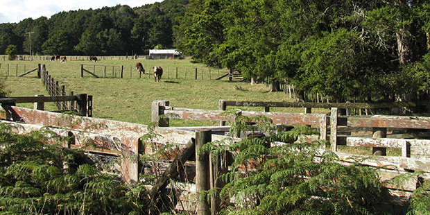
The river is prone to flooding, much of the banks are unfenced and many properties use septic tanks. While many fences have been put in to help prevent livestock attracted to the water, gulls, geese and ducks are also part of the problem.
Susan Moore-Lavo, the council’s Sustainable Land Manager, says although there have been periodic issues with E.coli bacteria at swimming holes, the region generally has good water quality compared with the rest of the country.
The council has monitored issues with the Wakapuaka River for more than 10 years and realised it would need to take an unusual approach to improving its water quality - because the catchment is home to many small landowners living on lifestyle blocks.
Rather than impose mandated, large-scale planning regimes, the council, local residents and community groups are working together on a co-operative project launched in 2018, Wakapuaka Bursting with Life.
Moore-Lavo says an initial step was a survey to determine the source of water quality issues. That debunked many rural myths.
“Results show that it is a little bit of everything – ducks that were around ponds that have now been got rid of, sheep, not necessarily cows, although they would be in the mix. There were not a lot of issues around septic tanks. It was a mix of the things that you typically find on lifestyle blocks.
“There had also been suggestions that the flooding was such that you couldn’t fence and if you did too much planting that would exacerbate erosion.”
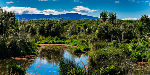
Studies showed more planting would mitigate all those issues. The next step was a series of land environment planning workshops. While farmers must create a comprehensive ‘farm plan’ covering planting, wetlands, fencing riverbanks and contamination, this didn’t apply to the lifestylers.

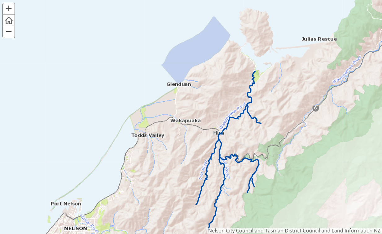
Map of the river area. Image / Supplied.
Map of the river area. Image / Supplied.
But the issues were similar, Moore-Lavo says. “We have a lot of small landowners but, when you put all those together, it’s like [you have] one very big farm having a very big impact on one catchment.”
At the workshops, people from the same area were seated together. “Sometimes they lived in the same valley and hadn’t met each other before. Soon they were saying to one another,’ What are you doing at your place? Come and have a look at what we’re doing over here’.”
That led to community ownership of the project, managed by the council with input from consultants and partners including the Ministry of Primary Industry (MPI) and NZ Landcare Trust.
Workshops looked at erosion, fencing, critical sources of water quality problems, planting high-risk areas and septic tanks.
Moore-Lavo says people developed their own mini-land environment plans: “We provided trees from the MPI hill country erosion fund for erosion planting and from the council for riverbank planting and wetland establishment. That work has carried on since then and now we have some more funding from MPI.
“A lot of those landowners have remnant exotic forestry – the odd hectare down the back of the block that they don’t want any more and would rather have in native trees. That’s not always an easy thing to achieve, so we are working with national experts on transitioning plantation forestry into natives.”
The council subsidises about half the cost of planting river banks to relieve erosion and fencing to keep stock out of waterways.
Hira School students are helping to convert a grazing area prone to run-off into a wetland area. Other activities include tree planting, weeding and community days.
Moore-Lavo stresses this is a ground-up campaign: “We don’t have a formal catchment group. People come along at their own pace and their own level of commitment, which is pretty high because we have an environmental grants programme to support things like keeping the streams healthy, wetlands, planting, fencing – that kind of work.
“People want to look after their land whether they’re a farmer or a lifestyler or a person with a property in town. They don’t necessarily know how to do it or what resources are required. We are able to bring independent advice so they can choose what works for them.”
Addressing these issues is not a quick fix. “People don’t always understand the timeframes required or the cost of doing these things. They have a vision but don’t always know what it’s going to take to get there, so showing those options and sharing resources and being able to work together has been quite effective.”
For more information: https://nelsoncity.maps.arcgis.com/apps/MapSeries/index.html?appid=71e06dcc0408406eb6109b05c16f5b37